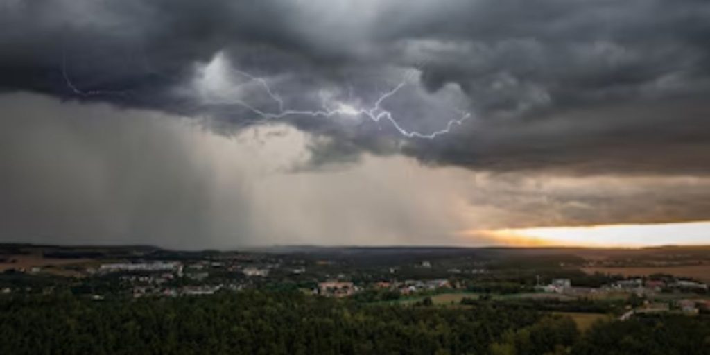
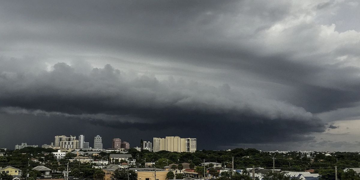
As predicted and described, a growing wave of low pressure and a subsequent cold front have contributed to heavy showers and thunderstorms across the Florida panhandle and southwest Georgia.
All of this action is moving east, northeast, and southeast, with the last of it slowly leaving sections of Alabama.
We’re seeing larger thunderstorm cells packed in a massive batch of heavy rain and rumbles. In certain cases, we are witnessing severe storms offshore and south of the Florida panhandle.

Prepare for locally destructive gusts, tiny hail, frequent lightning, heavy rain, and the possibility of a few waterspouts.
As this area of energy reactivates low pressure in the Great Lakes region, we may see a thin line of heavy showers and thunderstorms hit Kentucky, Ohio, Pennsylvania, New York, and maybe New Jersey.
While severe weather is not expected at this time, we may see some isolated strong to severe thunderstorms along that fresh line from southwest to northeast overnight tomorrow into Thursday morning. The greatest risk will be destructive winds ahead of our powerful low-pressure storm.

