Behind our outgoing system, which brought much-needed rain to the Northeast, cooler air is making its way. As the day progresses, clouds will ultimately break up and some sunshine will begin to appear. The 60’s today will dip into the 50’s by tomorrow, and we’ll struggle to reach 50 on Wednesday, with some spots still in the 40’s.
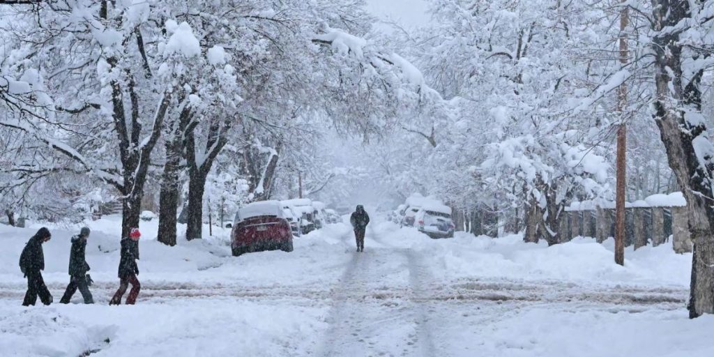
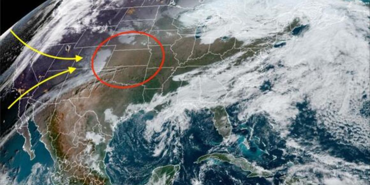
Our feature story today will be about a new powerful storm system that is expected to erupt from the Rockies this weekend and early next week. Our two jet stream branches will merge, causing a powerful low-pressure system to move from the Southwest into the Great Lakes region.
significant snowfall in the Pacific Northwest and mountainous portions of the Southwest will result in significant snowfall in eastern Colorado and western Nebraska.
Before that, we will keep a watchful eye out for the possibility of widespread severe weather. This will be quite similar to a spring storm, but in reverse because the temperature is falling rather than rising.

The window for substantial snowfall appears to be between Sunday and next Tuesday, stretching from southwest to northeast.
Our severe thunderstorm risk, including huge hail, damaging winds, frequent lightning, torrential rain, and the possibility of tornadoes, appears to be between Monday and Tuesday. Areas in Texas, Oklahoma, Kansas, and eastern Nebraska should be on alert.
Behind our system, some places prone to heavy thunderstorms may get snow as a final shot. The greatest places to witness this switch will be in Kansas, eastern Nebraska, Iowa, and South Dakota.
We’ll get morning clouds and some afternoon sun. The highs will be pleasant, with temperatures ranging from 65 to 70 degrees.
Tomorrow will be sunny and in the mid-50s, with temperatures dropping even more on Wednesday to around 50.
Clouds will come in on Thursday, but any light rain should stay to our west. Highs near 50 again, with sunshine and temperatures ranging from 55 to 60 degrees on Friday.

