Mountain Snow on the Way
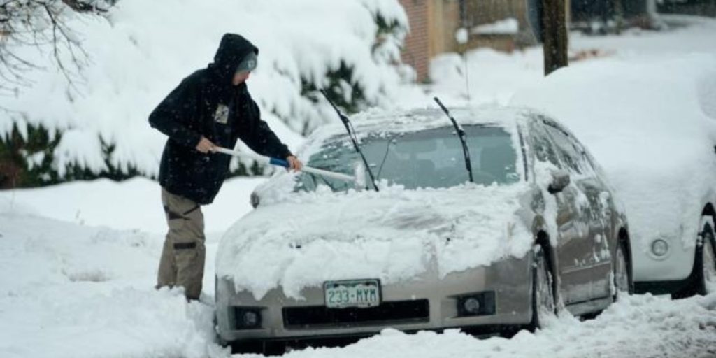
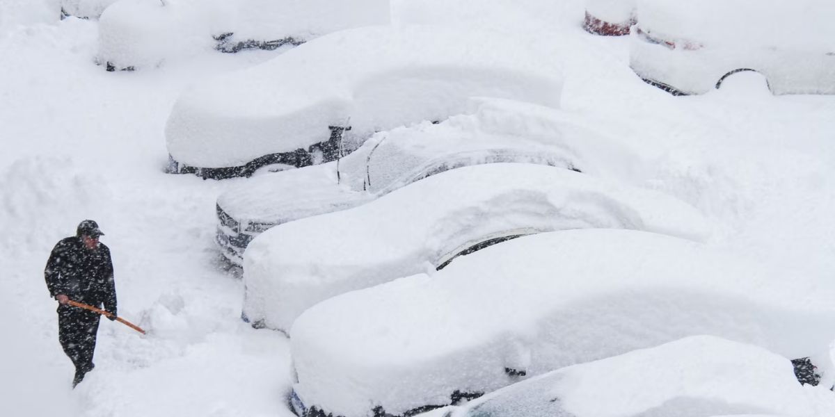
Prepare for some severe alpine snow! Starting Saturday morning, the Washington Cascades and Blue Mountains will be under a Winter Storm Warning until Monday night. Expect 10-20 inches of snow in the Cascades and high areas of the Blues above 4,000 feet. Heavy snow is expected in Oregon’s Cascades on Sunday and Monday, with a Winter Storm Watch in force.
Here is how it unfolds:
A cold front brings snow on Saturday morning.
A warm front follows, quickly converting snow into rain in some areas.

Then, late Saturday night, another cold front hits, turning it back into snow.
If you’re traveling, plan properly; snow levels will fluctuate from below 2,000 feet to 8,000 feet, then back down again!
Breezy conditions
As the second cold front passes through, brisk winds will resume Saturday evening, with gusts exceeding 30 mph in places like the Cascade Gaps, Columbia Basin, and Blue Mountain foothills. Winds will continue till Monday.
Lower-than-normal temperatures.
Even throughout the warm front, temperatures will remain cool, with highs in the 40s and 50s. Expect below-average temperatures this time of year, so dress warmly!

