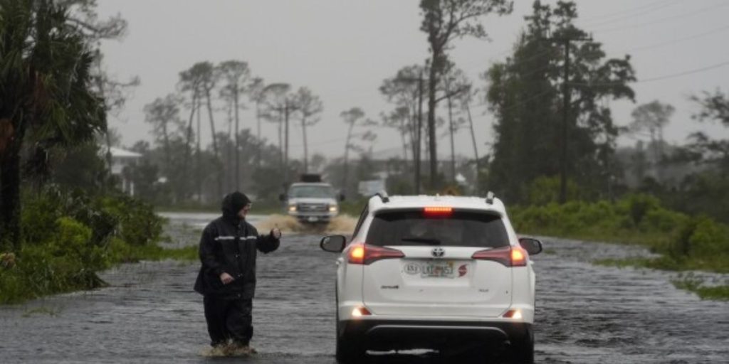
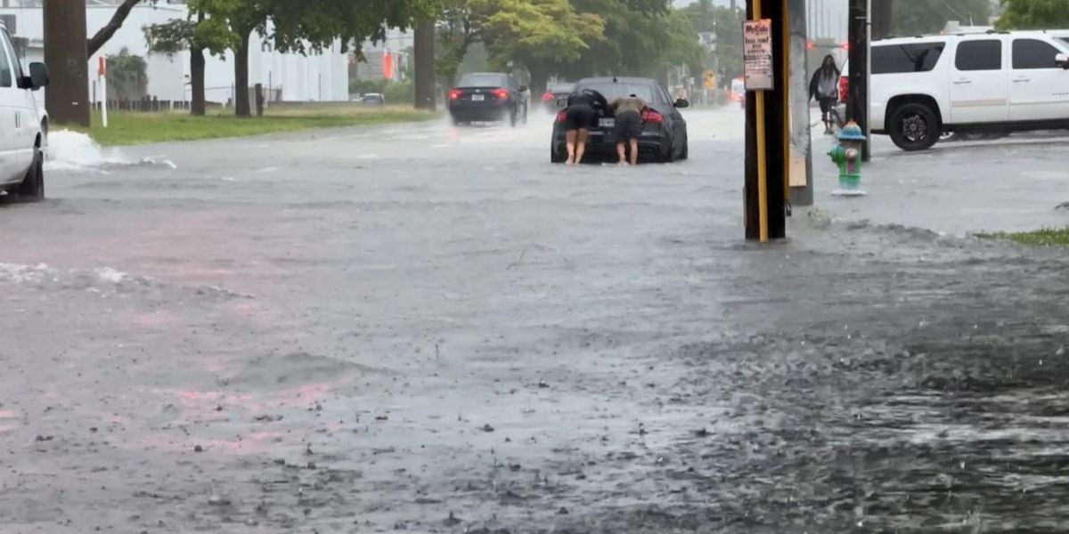
The National Weather Service in Tallahassee has issued a flood watch for northern Florida and south Georgia, with sporadic showers and isolated thunderstorms anticipated to bring significant rainfall through Wednesday night and Thursday.
This heavy weather, fuelled by a surface trough that stretches from the eastern Florida Big Bend to south-central Georgia, has increased the potential of flash flooding, particularly around the I-75 corridor and the northeast Florida Big Bend.

Rainfall totals in the flood watch area are expected to be 3 to 5 inches, with some high-resolution models predicting accumulations of 6 to 10 inches.
Heavy rains may fall outside of the flood watch area, but the flood watch only applies to the most vulnerable areas in northern Jefferson and Madison counties.

