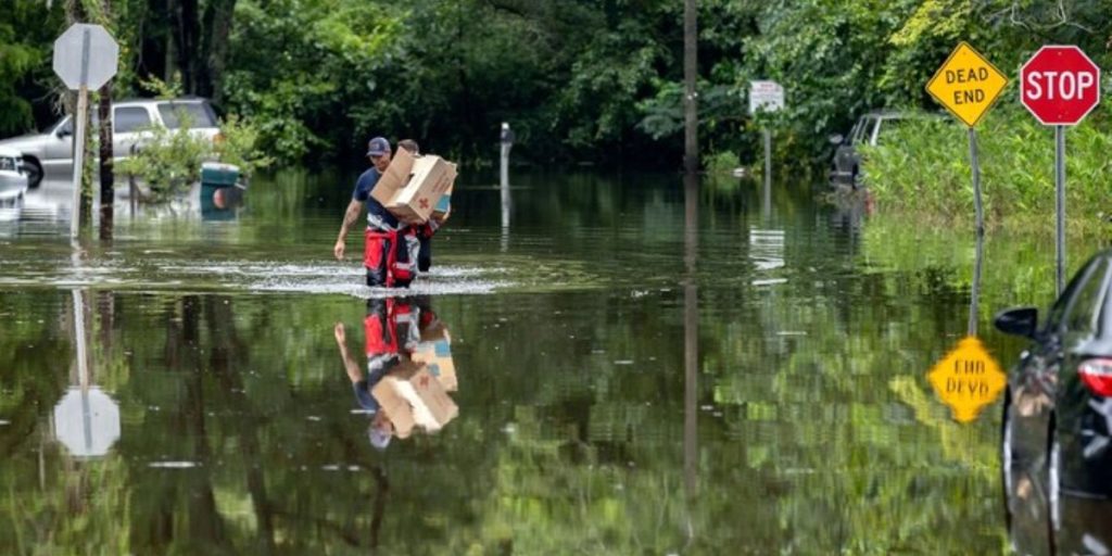
Heavy showers and thunderstorms are developing throughout sections of South Carolina, Georgia, and Florida as tropical energy flows northward from the Gulf of Mexico, as predicted.
That energy is enhancing an old front to our west, resulting in clusters of heavy showers and thunderstorms. Torrential rain is forecast with these storms, particularly in places that have already received too much rain in recent months.
As a result, the National Weather Service has issued flood watches for sections of central and southern Georgia, southwest South Carolina, and extreme north Florida.

The delayed movement of these thunderstorms will hamper forecasting for rain floods.
We also have a severe weather component to this, but it will be limited to more localized activity.
The biggest risk for severe weather will be in central and northern Florida, away from the main cluster of showers and storms. Individual thunderstorm cells will be able to produce severe winds, hail, frequent lightning, and torrential rain.

